
Biodiversity & Ecology
Habitat Mapping
Clear ecological and land-use maps that communicate habitat, risk and change for approvals, planning and stakeholder reporting.
Overview
Maps are how ecological evidence is read by people who will not open the dataset. A habitat or risk map has to show the pattern, the date and the decision it supports, without implying more precision than the data holds.
How we approach it
Okala produces ecological and land-use maps for permitting, planning and stakeholder reporting. Layers are chosen for that audience: habitat, constraint, change, or a simple overview. Symbology and legends are part of the work, not an afterthought.
What we deliver
- Habitat and land-use maps designed for a named decision
- Risk and change layers with method and date on the sheet
- Versions for technical annexes and for non-technical readers
- Source data and a short note on what was generalised
- Exports for print, slide and GIS use
What you receive
You get maps that can go into a report without a designer rebuilding them, plus the files if your GIS team needs to carry the layer forward.
When you need it
You need maps when habitat, risk or land-use change has to be shown clearly in a permit, a plan or a stakeholder meeting.
Related services
Remote Sensing & Habitat Mapping
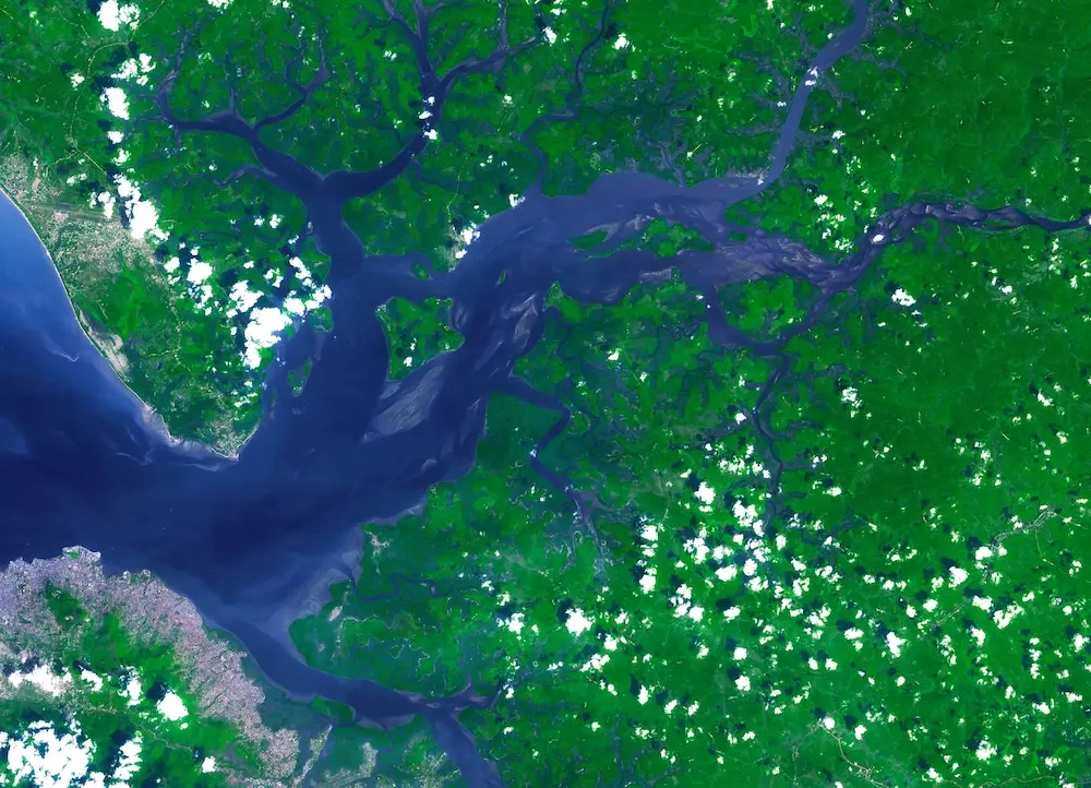
Satellite imagery and spatial analysis to map habitats and land-use change across whole landscapes, delivered through NatureCube.
EUDR Due Diligence
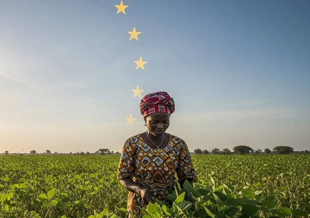
Due diligence and evidence for deforestation-free supply to the EU, backed by satellite analysis delivered through NatureCube. We support national EUDR compliance in Benin and Togo.
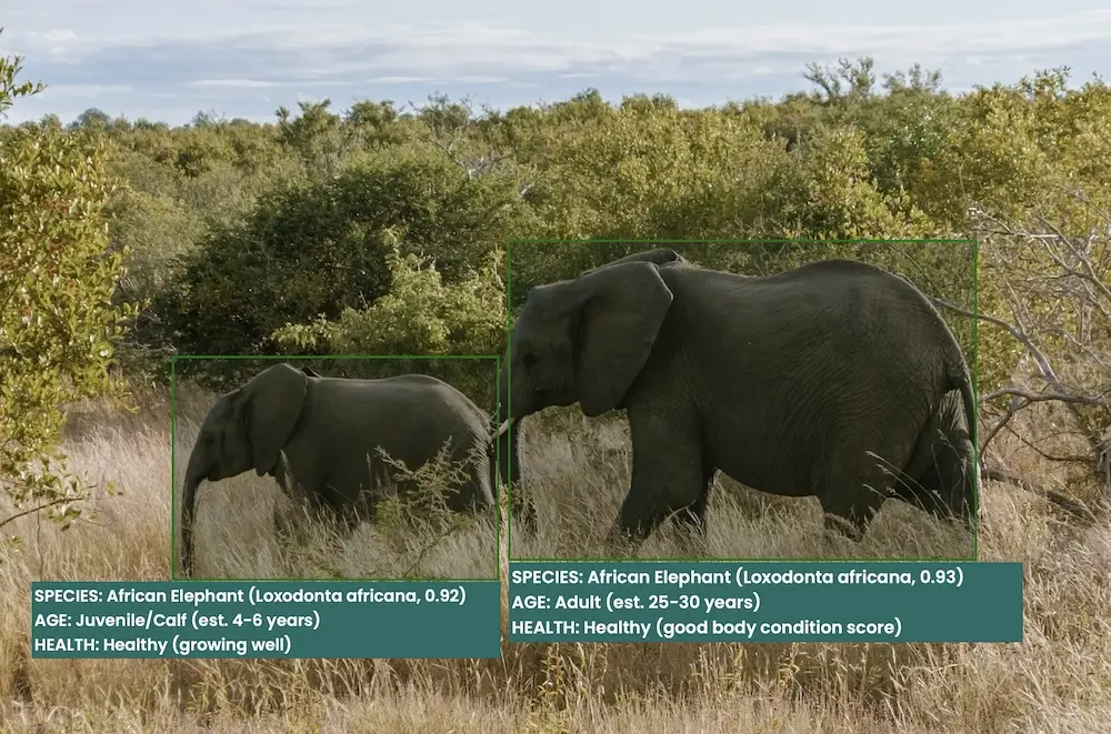
Custom Tools & Integrations
Custom AI models, data pipelines and integrations that extend NatureCube for your programme.
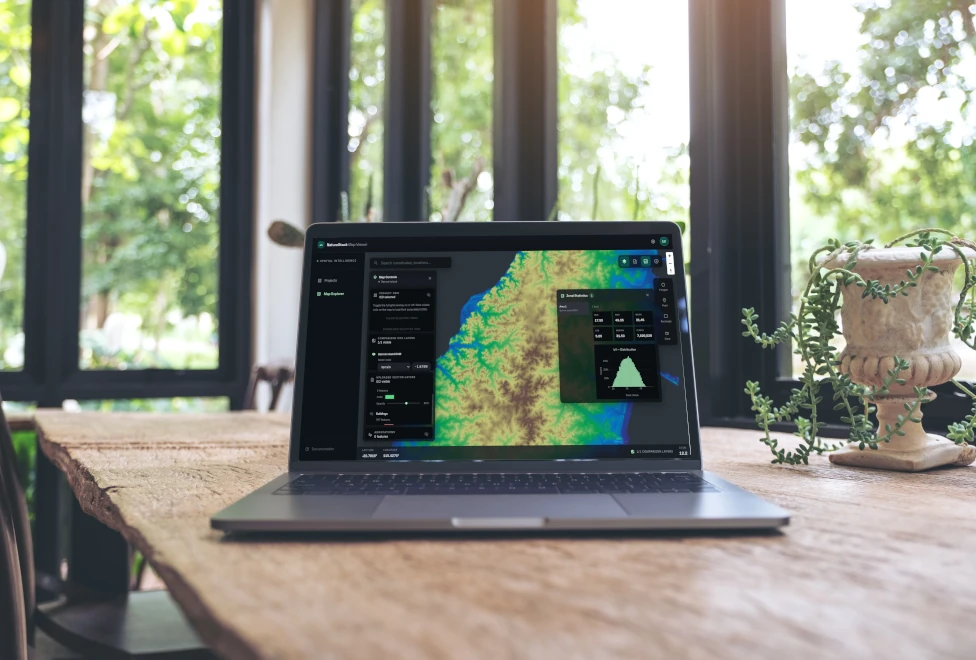
Geospatial Mapping
Mapping of land-use change, habitats and deforestation, delivered through NatureCube by our remote sensing and geospatial specialists.
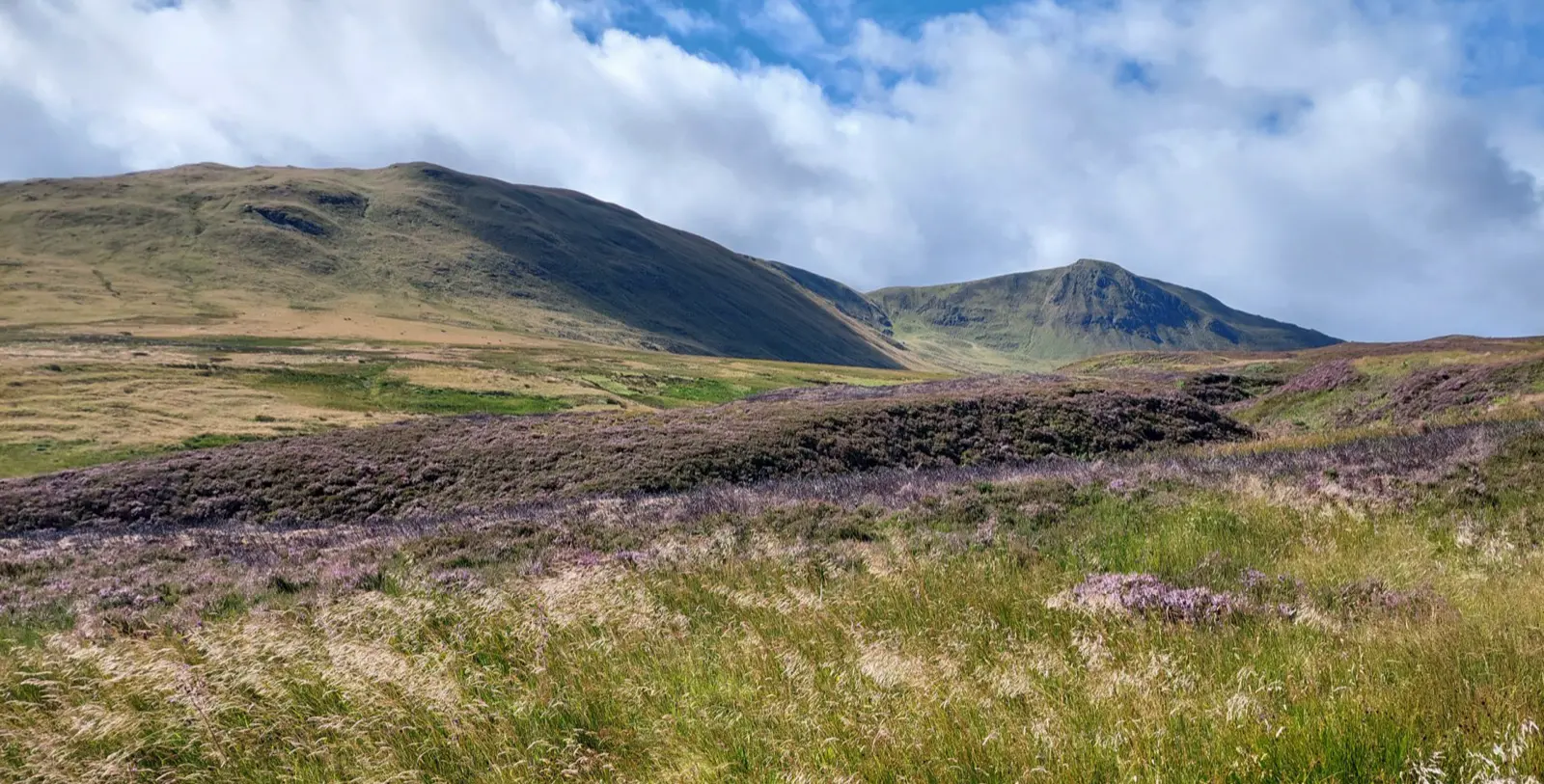
Ecological Surveys & Baselines
Defensible ecological surveys and biodiversity baselines for planning, compliance and impact assessment.
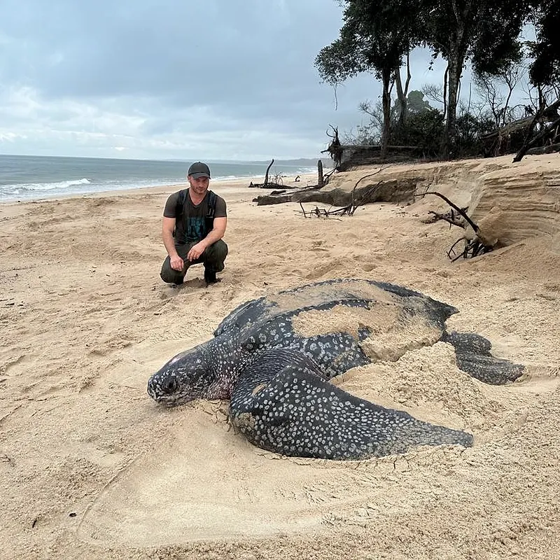
Critical Habitat Assessments
IFC PS6 critical habitat assessments, and equivalents under EBRD PR6 and World Bank ESS6, to support lender due diligence and project approval.