
Nature Technology
Geospatial Mapping
Mapping of land-use change, habitats and deforestation, delivered through NatureCube by our remote sensing and geospatial specialists.
Overview
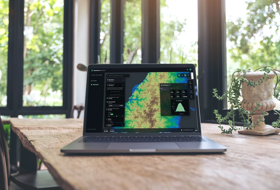
Geospatial mapping shows where habitats are, how land use is changing and where deforestation has happened. We combine satellite imagery, sensor and survey data into maps that hold up to lender, regulator and auditor review.
How we approach it
Our remote sensing and geospatial specialists work alongside our field ecologists, so maps are checked against what teams record on the ground. Every layer is delivered through NatureCube with its sources, dates and processing steps visible, and ties into the monitoring, compliance and reporting it supports.
What we deliver
- Land-use and land-cover change mapping
- Habitat mapping, checked against field data
- Deforestation and conversion analysis, including for EUDR
- An audit trail of sources, dates and processing steps
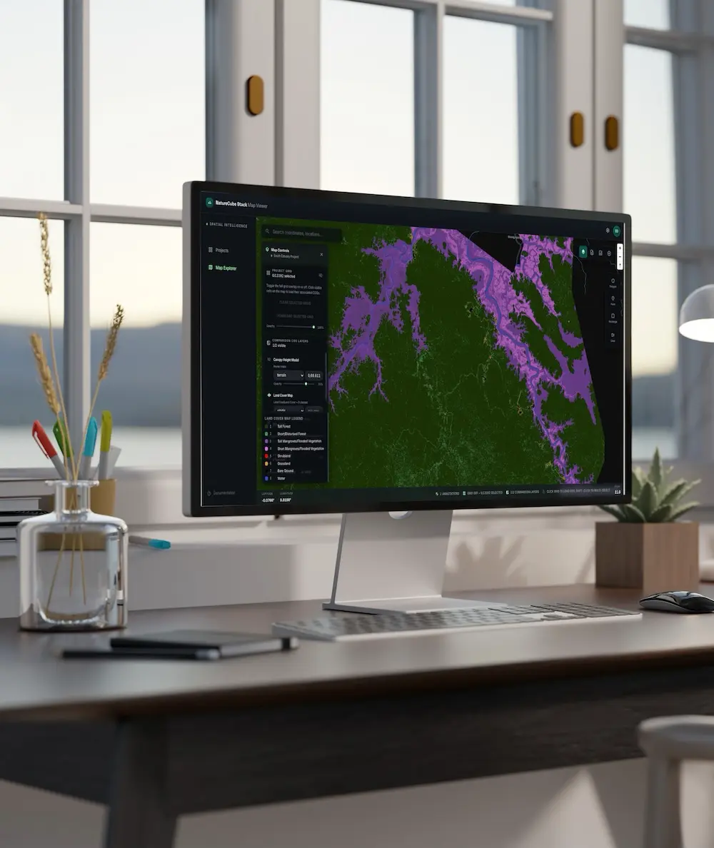
- Maps and layers delivered in NatureCube, with standard exports
What you receive
You get maps your team, lenders and auditors can rely on, with the method behind each layer still recoverable.
When you need it
You need it when a decision depends on where habitats are, how land use has changed or whether land has been deforested.
Related services
Remote Sensing & Habitat Mapping
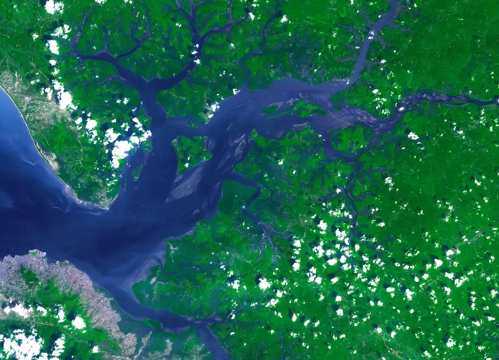
Satellite imagery and spatial analysis to map habitats and land-use change across whole landscapes, delivered through NatureCube.

Habitat Mapping
Clear ecological and land-use maps that communicate habitat, risk and change for approvals, planning and stakeholder reporting.

Software Platform Build
Bespoke environmental platforms built around your workflows, from data capture and analysis to dashboards, reporting and stakeholder access.

Dashboards & Reporting Tools
Interactive dashboards and reporting interfaces that make complex environmental data usable for teams and stakeholders.
EUDR Due Diligence
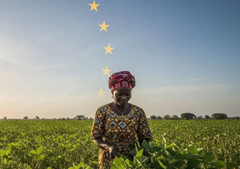
Due diligence and evidence for deforestation-free supply to the EU, backed by satellite analysis delivered through NatureCube. We support national EUDR compliance in Benin and Togo.
Custom Tools & Integrations
Custom AI models, data pipelines and integrations that extend NatureCube for your programme.