
Biodiversity & Ecology
Remote Sensing & Habitat Mapping
Satellite imagery and spatial analysis to map habitats and land-use change across whole landscapes, delivered through NatureCube.
Overview
Remote sensing extends ecological evidence beyond what a field team can walk. Satellite imagery and spatial analysis show habitat pattern, land-use change and pressure across a landscape, which is often the scale at which permitting and compliance decisions are made.
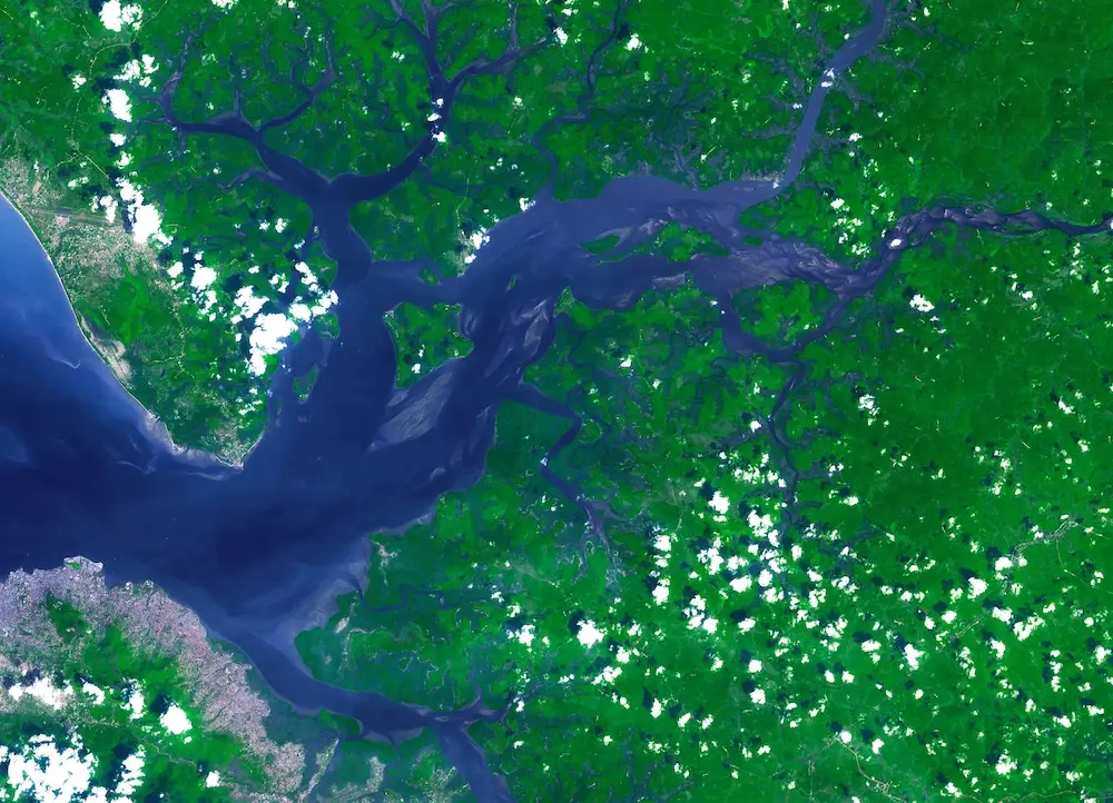
How we approach it
We select imagery and methods for the question: habitat mapping, deforestation or degradation, or condition across a concession. Field data is used to check the map where it exists. The analysis note states the date, the sensor, the classification method and what the map should not be used for.
What we deliver
- Habitat and land-cover mapping from current and historical imagery
- Change detection for deforestation, degradation and land-use pressure
- Spatial layers that sit alongside field surveys and species data
- Accuracy and uncertainty notes written for a technical reviewer
- Map products formatted for reports, stakeholders and operational teams
- Repeat analysis so a later year can be compared with the first
What you receive
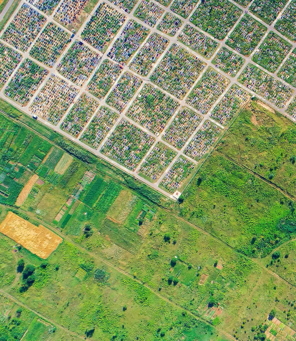
You receive maps, the spatial data behind them, and a short note on method and limits. The map is usable in an assessment only because those limits are written down.
When you need it
Use this when the area is large, access is limited, or a decision depends on seeing change across a landscape rather than a single plot.
Related services
Habitat Mapping
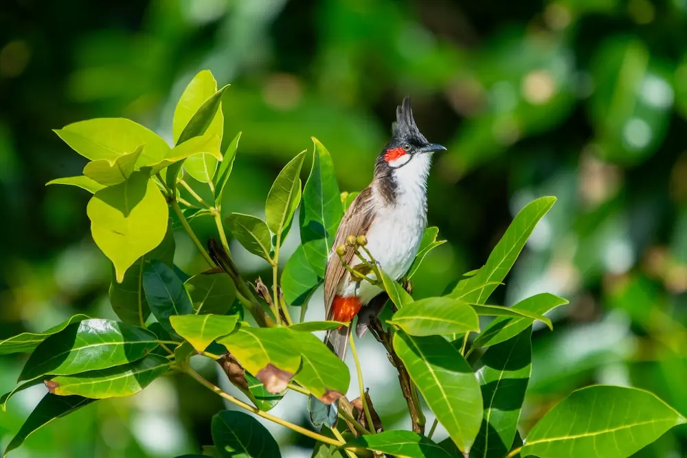
Clear ecological and land-use maps that communicate habitat, risk and change for approvals, planning and stakeholder reporting.
Geospatial Mapping
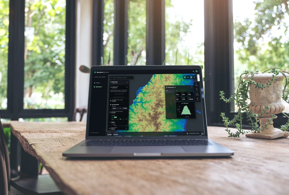
Mapping of land-use change, habitats and deforestation, delivered through NatureCube by our remote sensing and geospatial specialists.
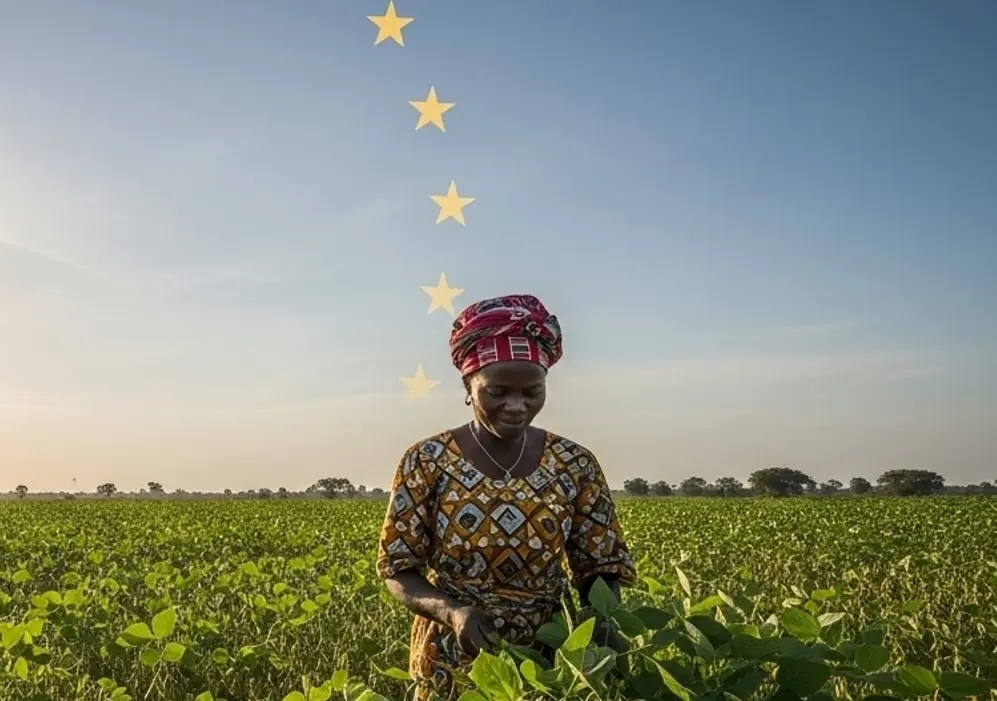
EUDR Due Diligence
Due diligence and evidence for deforestation-free supply to the EU, backed by satellite analysis delivered through NatureCube. We support national EUDR compliance in Benin and Togo.
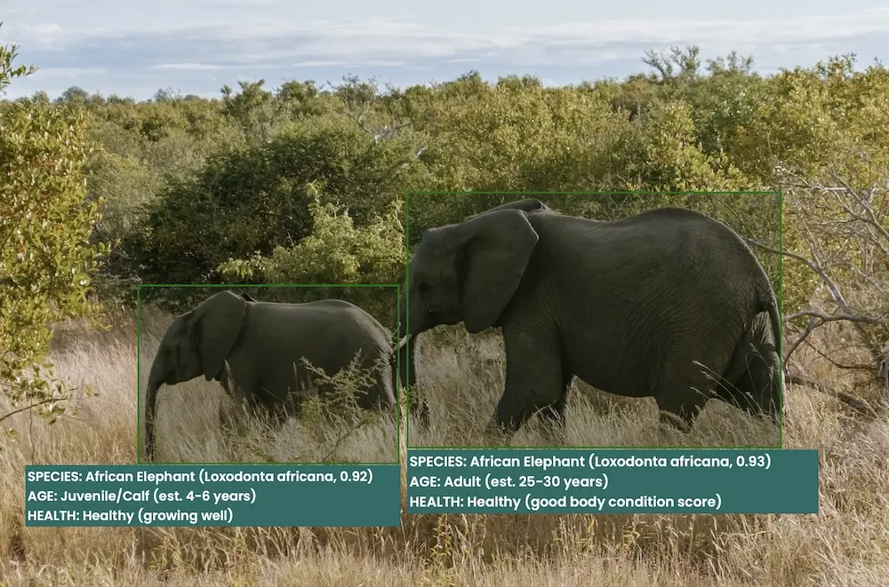
Custom Tools & Integrations
Custom AI models, data pipelines and integrations that extend NatureCube for your programme.
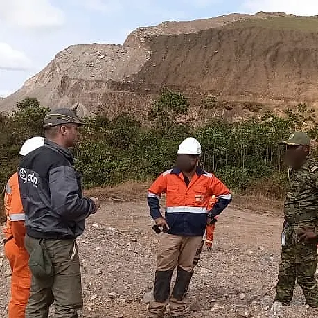
Biodiversity Action & Management Plans
Plans and monitoring programmes that turn assessment findings into commitments you can track.
Carbon Services
Carbon accounting, strategy and advisory support from assessment through reporting.