
Biodiversity & Ecology
Biodiversity Action & Management Plans
Plans and monitoring programmes that turn assessment findings into commitments you can track.
Overview
Monitoring and management turn a one-off survey into a way of running a site. The question shifts from what is here to whether mitigation is working and whether management needs to change.
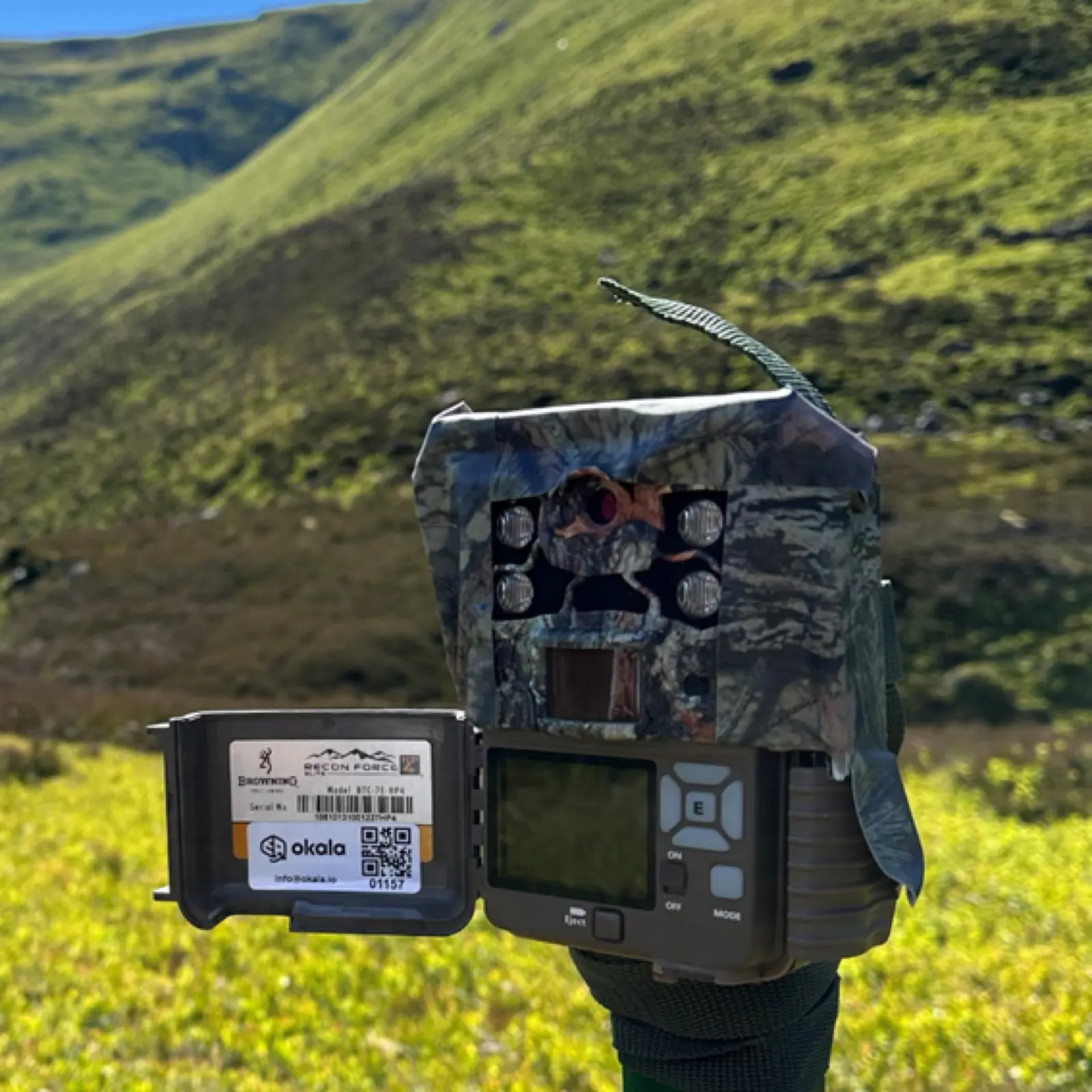
How we approach it
Okala designs indicators, sampling and reporting cycles around the permit, lender condition or internal target you actually have. Results are interpreted by ecologists, then translated into management actions: what to keep, what to change, and what to watch next season.
What we deliver
- Monitoring design, indicators and a sampling plan
- Biodiversity management and action plans grounded in site evidence
- Periodic reporting against permits, lender conditions or internal targets
- Review of whether mitigation measures are doing what they were meant to do
- Advice on nature-related strategy where monitoring should inform longer-term decisions
- Updates to methods when the operation or the regulatory ask changes
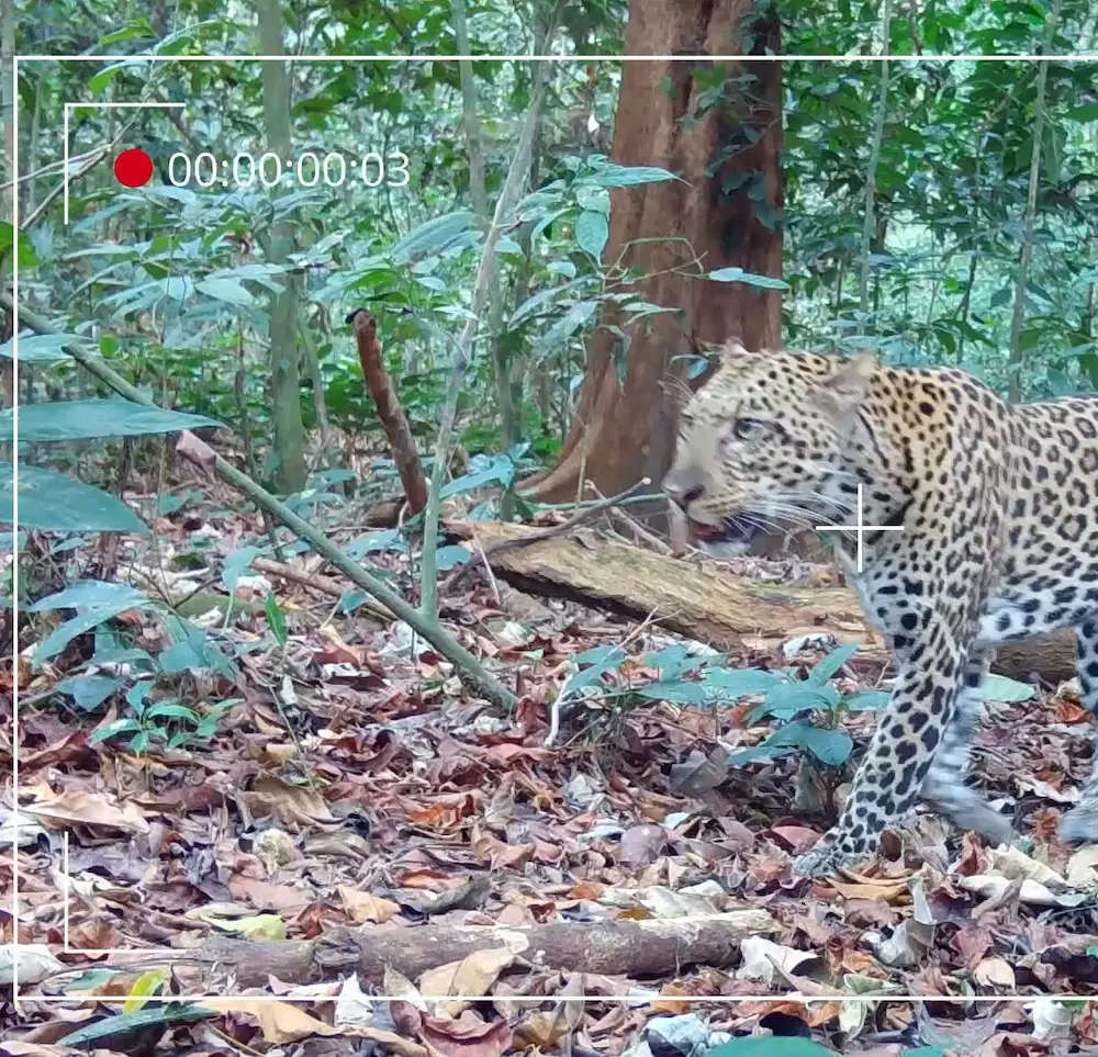
What you receive
You get a programme that produces comparable results over time, and management recommendations that name the action, the place and the reason.
When you need it
You need this when a permit, lender or board expects evidence over years, not a single baseline, or when a management plan has to be written from real site data.
Related services
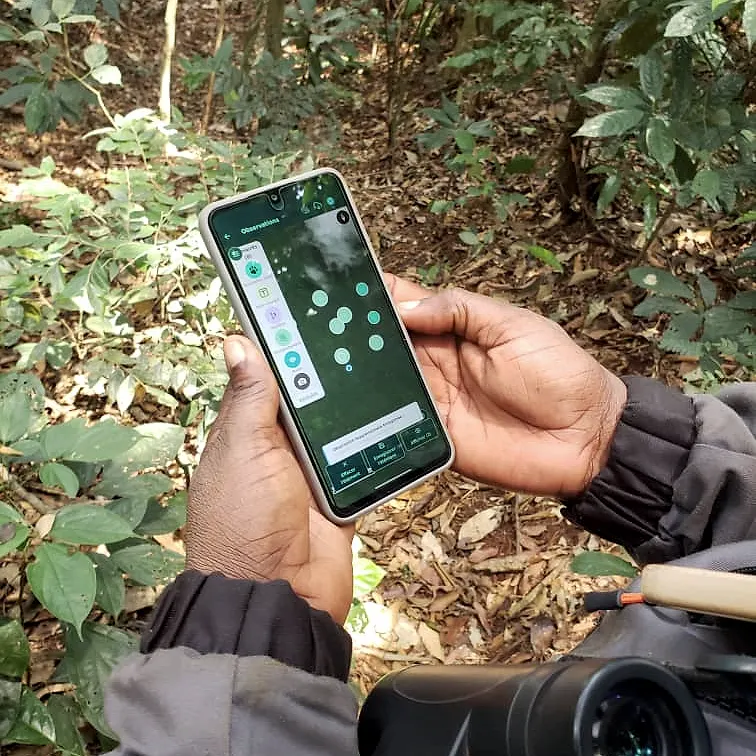
Endangered Species Monitoring
Population surveys, density estimates and long-term monitoring for priority and protected species.
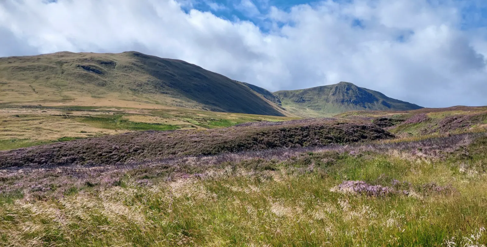
Ecological Surveys & Baselines
Defensible ecological surveys and biodiversity baselines for planning, compliance and impact assessment.
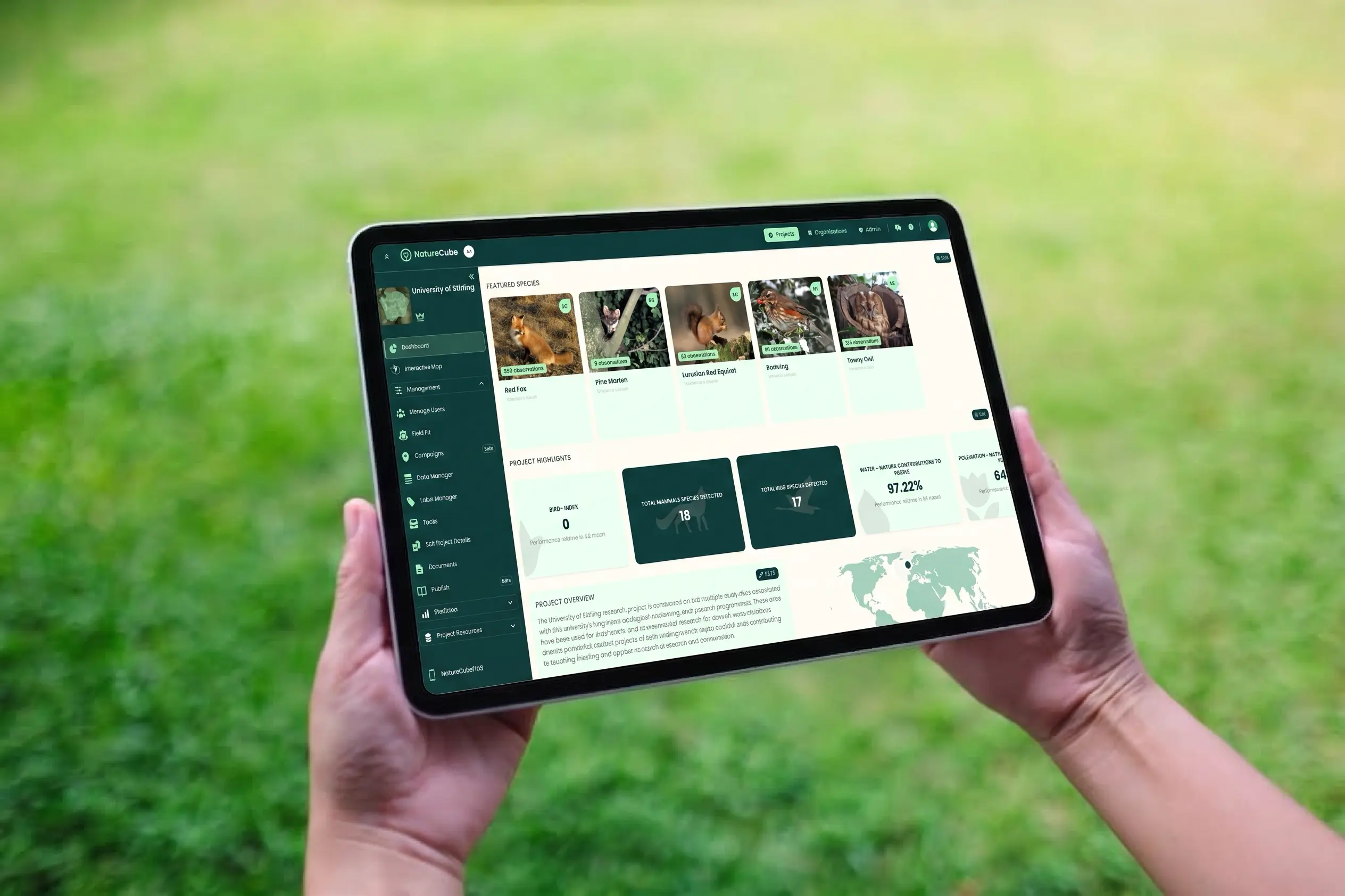
NatureCube Integration
Extend or integrate with NatureCube, Okala's platform for managing, analysing and interpreting complex biodiversity datasets.
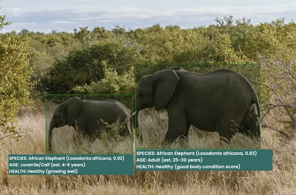
Custom Tools & Integrations
Custom AI models, data pipelines and integrations that extend NatureCube for your programme.

Dashboards & Reporting Tools
Interactive dashboards and reporting interfaces that make complex environmental data usable for teams and stakeholders.
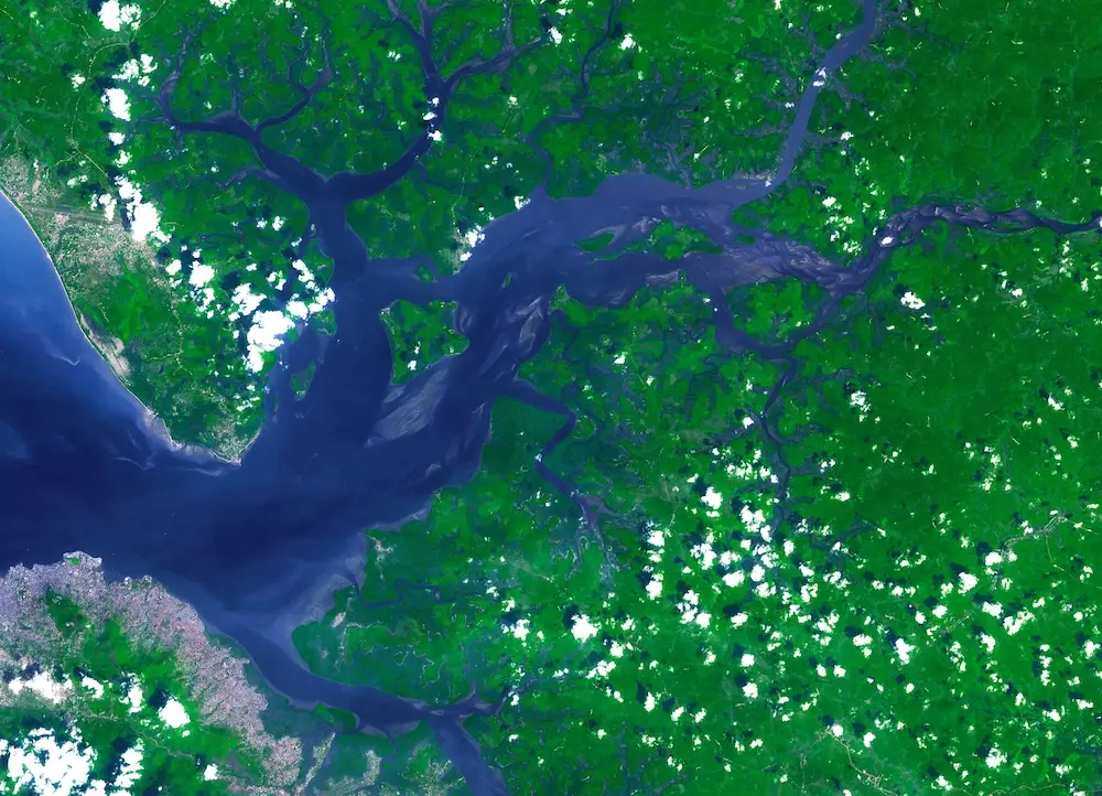
Remote Sensing & Habitat Mapping
Satellite imagery and spatial analysis to map habitats and land-use change across whole landscapes, delivered through NatureCube.