
Methods
Camera Trapping
Camera trap fieldwork and AI-assisted image analysis, verified by ecologists, to capture wildlife presence, behaviour and activity at scale.
Overview
Camera traps record wildlife that people rarely see: nocturnal, shy and wide-ranging species that walk past a fixed point while no one is there. Run well, a camera trap programme gives repeatable evidence of presence, activity and behaviour across a site or a whole landscape.
How we approach it
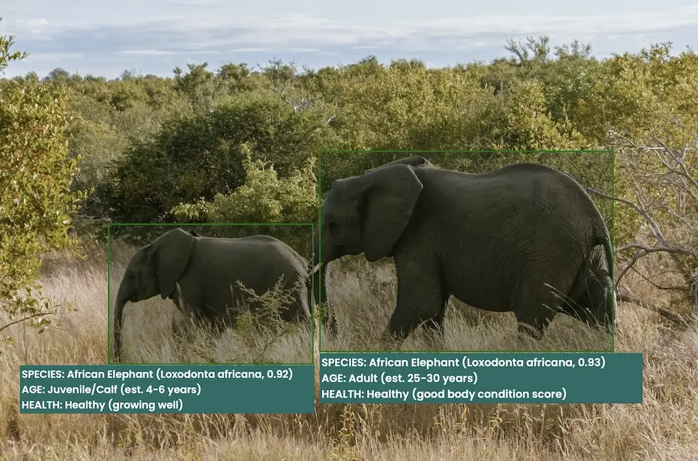
Survey design comes first: where cameras go, how long they stay out and how many are needed depend on the target species and the decision the data has to support. Images are processed with AI models that filter empty frames and suggest species labels, then ecologists verify the results before they are analysed. That keeps large programmes fast without letting automated labels pass straight into a report.
What we deliver
- Survey design matched to target species, habitat and season
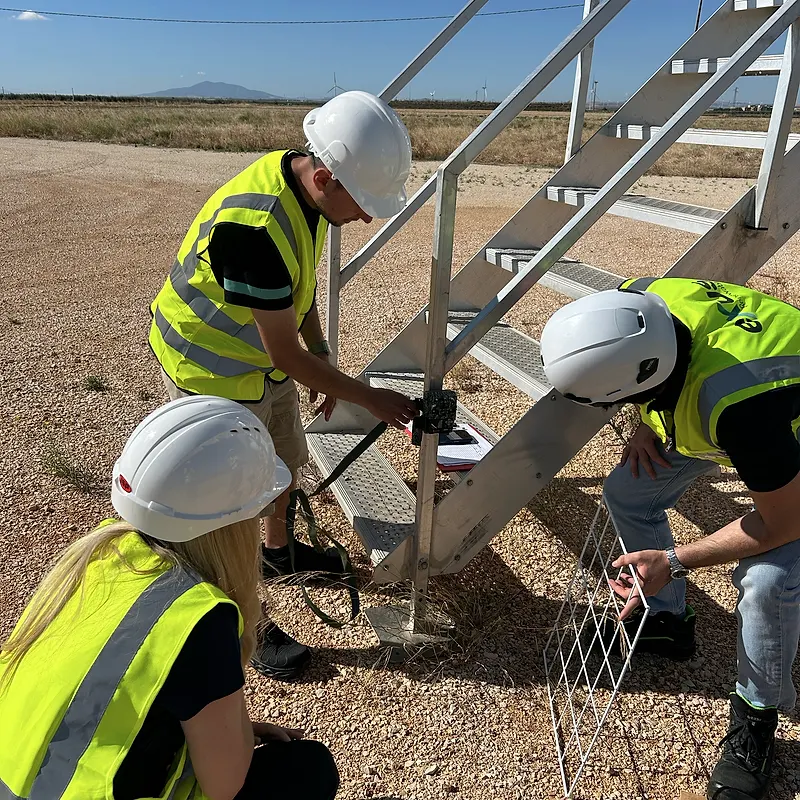
- Deployment, servicing and retrieval, or support for your own field teams
- AI-assisted image processing with expert verification of every species record
- Occupancy, relative abundance, activity patterns and behaviour analysis
- Data managed in NatureCube so records stay traceable
- Reporting written for permitting, lenders or monitoring plans
What you receive
You receive verified species records, the analysis built on them and a clear account of survey effort, so the evidence holds up when a regulator or lender asks how it was gathered.
When you need it
Use camera trapping when medium and large mammals or ground-dwelling birds matter to a baseline, a critical habitat assessment or a protected species monitoring programme. It works well alongside bioacoustics and eDNA for wider coverage.
Services that use this method
Camera Trapping is one of the methods we draw on across these services.
Critical Habitat Assessments
IFC PS6 critical habitat assessments, and equivalents under EBRD PR6 and World Bank ESS6, to support lender due diligence and project approval.
ESIA Biodiversity Baselines
Baseline surveys and specialist studies for ESIAs that satisfy lenders and national regulators, delivered to budget and on time.
Endangered Species Monitoring
Population surveys, density estimates and long-term monitoring for priority and protected species.
Custom Tools & Integrations
Custom AI models, data pipelines and integrations that extend NatureCube for your programme.
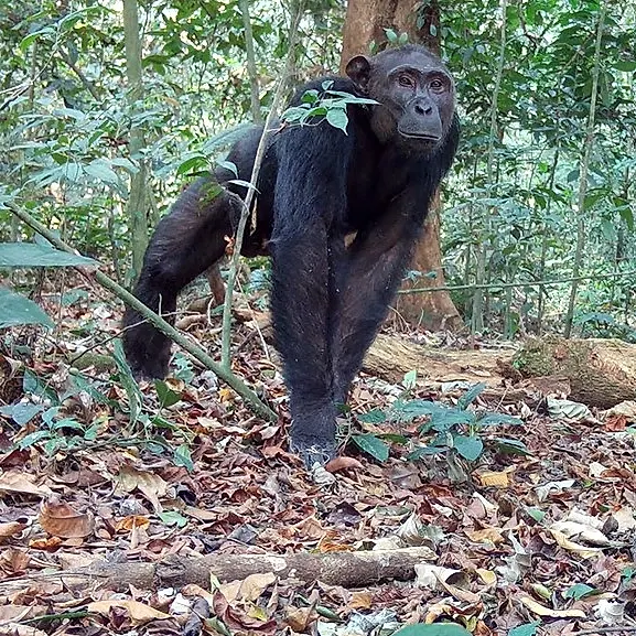
Mammal Surveys
Surveys of large and small mammals using camera traps, transects, sign surveys and eDNA, designed to the standard each project must meet.
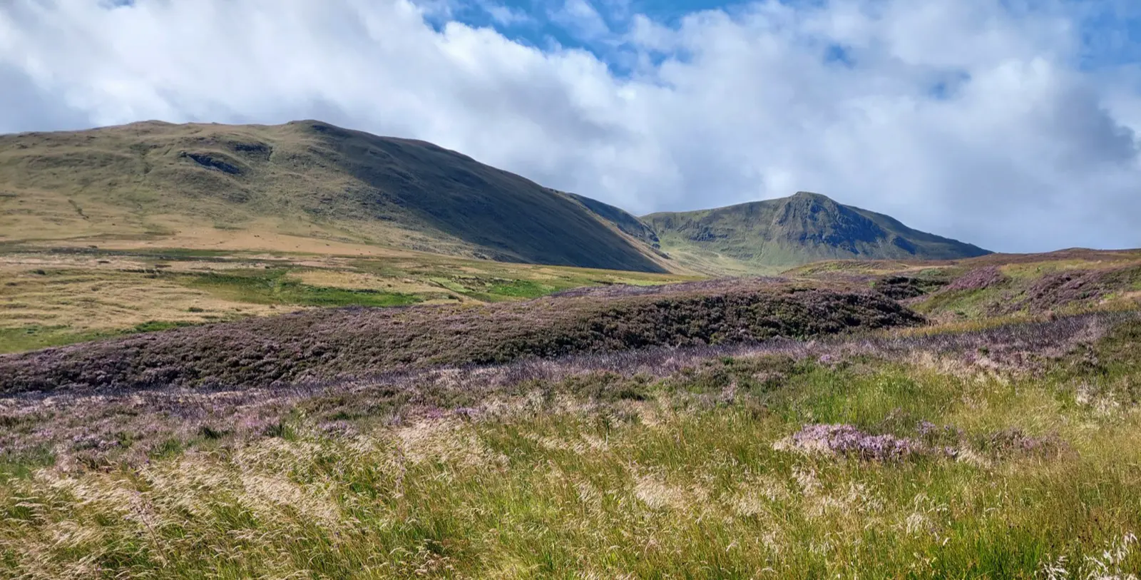
Ecological Surveys & Baselines
Defensible ecological surveys and biodiversity baselines for planning, compliance and impact assessment.
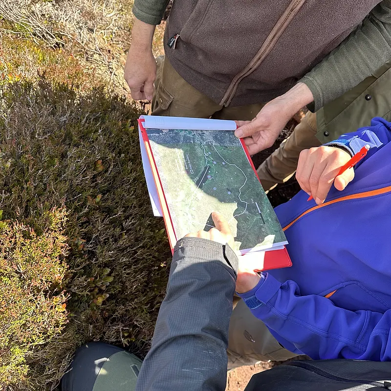
Biodiversity Impact Assessments
Impact assessments applying the mitigation hierarchy, supporting approval and investment decisions.
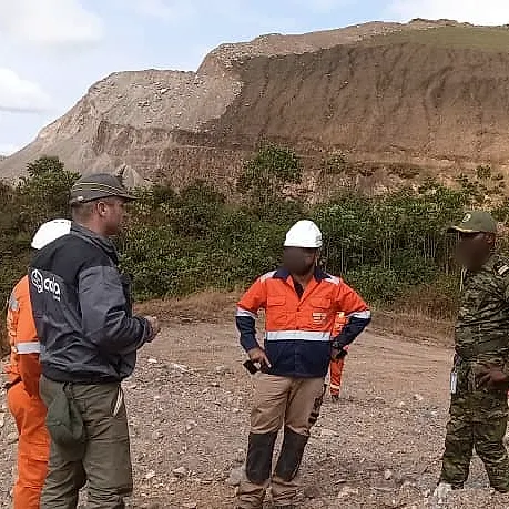
Biodiversity Action & Management Plans
Plans and monitoring programmes that turn assessment findings into commitments you can track.
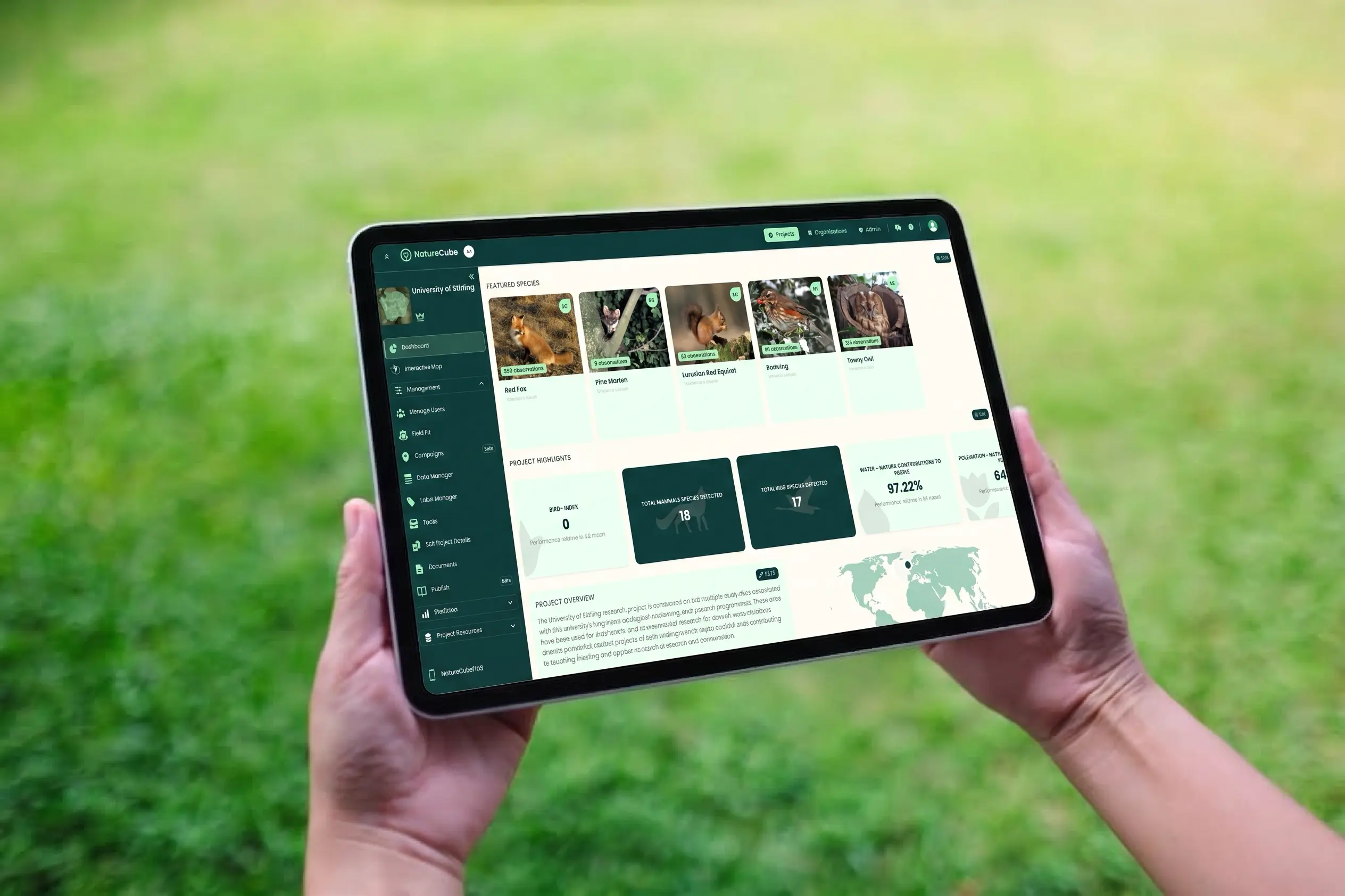
NatureCube Integration
Extend or integrate with NatureCube, Okala's platform for managing, analysing and interpreting complex biodiversity datasets.
Other methods
Bioacoustics
Autonomous acoustic recorders and call classification to detect vocalising species and track ecosystem condition day and night.
Environmental DNA
Water and soil sampling for eDNA to detect many species, including rare and cryptic taxa, from a single non-invasive sample.
Remote Sensing & Maps
Satellite imagery, land-cover classification and clear mapping to show habitat, change and risk across sites and landscapes.
Desk-Based Assessment
Structured review of existing records, datasets, literature and policy to scope risk and focus fieldwork before anyone goes to site.